
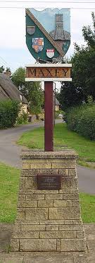

Maxey was the focus for a circular walk steeped in history, surrounded by lovely buildings nestled in nature. Maxey village hall is fondly esteemed by many of us, as the place where “Pam’s Art Group” meet and paint. We are actually saying farewell to Pam and Jim who are returning to their spiritual home in the North East next month, so this walk is a farewell to Pam as much as anything else.
From the Bluebell pub (constructed in the 19th century originally as a limestone barn with dark wooden beams and flagstone floors) the Deepings walkers headed along Woodgate Lane to the Maxey Cut.
The Maxey Cut was built in the early 1950s following the epic flooding of 1947. It is an artificial flood relief channel for the River Welland. A major engineering project to alleviate flooding in Market Deeping and Deeping St James – I bet our Deeping members are unconsciously grateful for the ‘cut’ in this 21st century era of climate change and erratic weather patterns.
The Maxey Cut is illustrated on the Langdyke Countryside Trust map drawn up Peter Leverington, husband of our member Mavis. The Etton-Maxey Reserve is Langdyke’s largest reserve and former gravel pit. Find out more about the nearby man-made stretch of water https://langdyke.org.uk/the-maxey-cut/ The trust describes the Maxey Cut as “the heart of nature recovery in John Clare’s Countryside”.

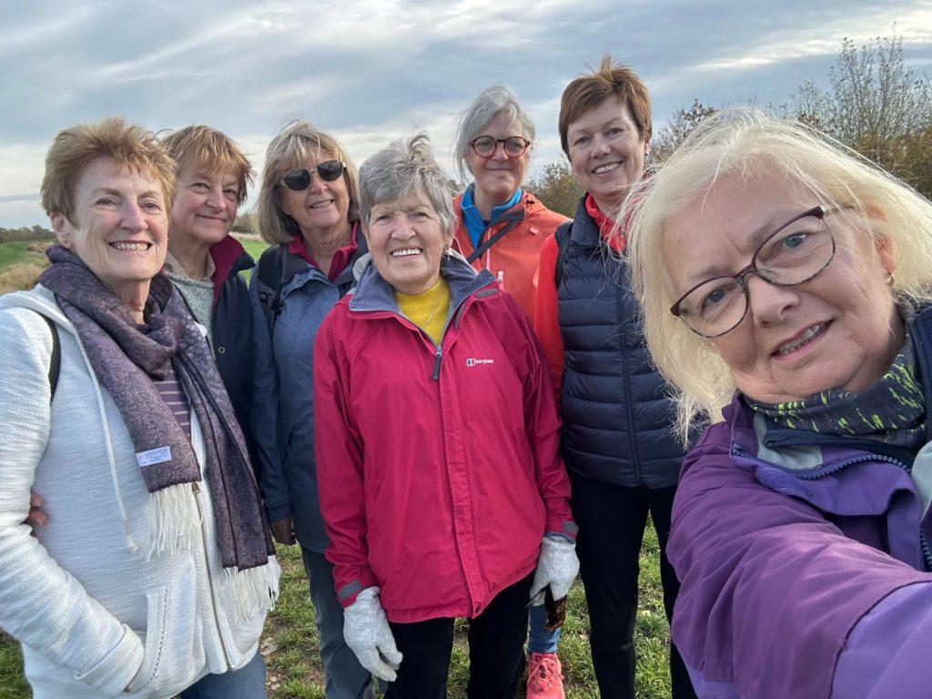
The seven walkers overlooked the Langdyke reserves continuing alongside the water to Lolham Bridges. Discussions ‘flowed’ on the topic of water levels; the need for crop irrigation, national problems linked to climate change and politics alongside the ebb and flow of conversation about families, holidays, health and recent meetings.
The Roman road now called King Street crossed the Welland floodplain here. Lolham is known for its bridges that run north across two railway crossings from Helpston to West Deeping.
Where Roman Road King Street crosses the Maxey Cut, to the south of the original channels, there are a series of 14 arches which comprise Lolham Bridges. They are grouped into five structures to cross the channels in the area, and were funded by the County of Northamptonshire in the seventeenth and eighteenth centuries. The longest span is 16 feet (4.9 m), and the cutwaters carry inscribed stones recording the county’s involvement.

The walk took 1.5 hrs and we made it back to Market Deeping for our lunch reservation at Café Mills and the delightful Maz who runs it.
Jo describes this as “a very local walk – we are fortunate to have easy access to beautiful open spaces here in Lincolnshire”. I might add – access to very good cake too, from the looks of the Café Mills… doubly sorry to have missed Jo’s walk…
I must finish with a John Clare poem : The Flood, 1830.
On Lolham Brigs in wild and lonely mood
I’ve seen the winter floods their gambols play
Through each old arch that trembled while I stood
Bent o’er its wall to watch the dashing spray